
Bryant School 1981 – 1982
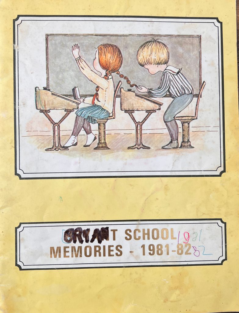
Front Cover
Bryant School 1982 – 1983

Bryant School Memories 1982-1983 Cover
St. James Hospital History

This page is Presented by: PEISH VIDEO PRODUCTIONS Visit Their Website
2021 Yearbook

2020 Cover
2019 Yearbook

1875 Geneva & Hornellsville Railroad

Map of western New York and part of Pennsylvania showing drainage, cities and towns, counties, and the railroads with emphasis on the main line. – G.W. & C.B. Colton & Co, and Geneva And Hornellsville Railroad. Map showing the Geneva & Hornellsville Railroad and its connections. New York, 1875. Map. Retrieved from the Library of Congress, […]
1857 Hornellsville Map

A topographical map of Hornellsville, Steuben Co., New York : from actual surveys – Levy, M., C.E, John E Gillette, and Robert Pearsall Smith. A topographical map of Steuben Co., New York: from actual surveys. [Philad’a Philadelphia: J.E. Gillette, Publisher, 1857] Map. Retrieved from the Library of Congress, <www.loc.gov/item/2013593234/>. These images are from the larger topographical […]
1904 Hornellsville Map

Sanborn Fire Insurance Map from Hornellsville – Sanborn Fire Insurance Map from Hornell, Steuben County, New York. Sanborn Map Company, Sep, 1904. Map. Retrieved from the Library of Congress, <www.loc.gov/item/sanborn05996_004/>. Each Section of the Main map is numbered and colored coded. Click on the corresponding section image for a more detailed map. 1904 Hornellsville Map […]
1898 Hornellsville Map

Sanborn Fire Insurance Map from Hornellsville – Sanborn Map Company, Mar 1915. Sanborn Fire Insurance Map from Hornell, Steuben County, New York. Sanborn Map Company, Jul 1898. Map Retrieved from the Library of Congress, <www.loc.gov/item/sanborn05996_003/>. Each Section of the Main map is numbered and colored coded. Click on the corresponding section image for a more detailed […]
1915 Hornell Map

Sanborn Fire Insurance Map from Hornellsville – Sanborn Map Company, Mar 1915. Sanborn Fire Insurance Map from Hornell, Steuben County, New York. Sanborn Map Company, Mar, 1915. Map. Retrieved from the Library of Congress, <www.loc.gov/item/sanborn05996_006/>. Each Section of the Main map is numbered and colored coded. Click on the corresponding section image for a more […]